Steam, mountain lakes, and a landscape still changing.
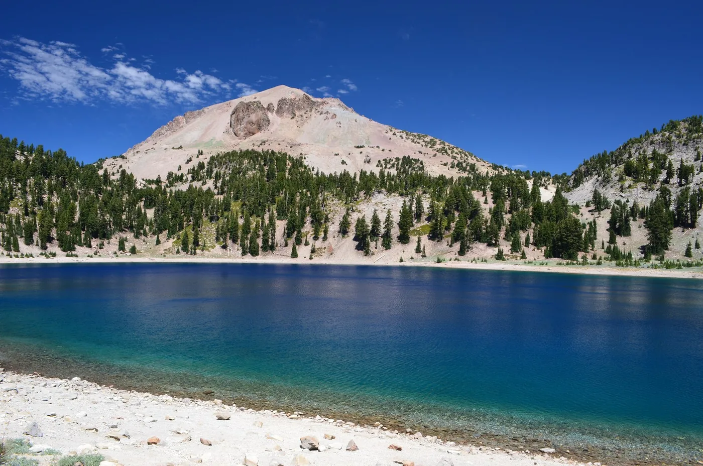
Lassen combines hydrothermal activity with a high-elevation landscape of lakes, forest, and volcanic peaks. The park highway gives a practical first visit a clear shape, but snow can keep that route closed long after lower California feels summery. Start with one entrance area, then add a second day for a longer trail or another part of the highway. A steaming basin and a quiet lakeshore make a compelling pair.
High elevation, lingering snow, and limited services complicate a simple-looking drive. Hydrothermal trails may be unavailable even when some roads are open.
The moments to make room for.
Sulphur Works close up
An accessible-from-the-road hydrothermal stop shows the park’s active geology without making a long hike the first task.
Mountain lake pauses
A lakeside walk offers a gentler counterpoint to steam and volcanic slopes; choose an open area near your day’s route.
A larger hiking day
When conditions permit, established trails lead toward hydrothermal basins or higher terrain. Select one according to snow, elevation, and fitness.
Let’s see how this park fits your trip.
Your timing and travel style matter as much as the view.
One day, a little more slowly.
A suggested rhythm, not a live itinerary. Check access and allow for travel between stops.
Orient at the southwest entrance
Check road and trail updates at the Kohm Yah-mah-nee Visitor Center, then visit Sulphur Works if accessible.
Follow an open section of highway
Choose a lake stop and one suitable short trail. Attempt a through drive only if the full highway is confirmed open.
Let the mountain day end slowly
Return to your base before fatigue turns a winding drive into a rush. Stargazing needs a safe, open stopping place and warm layers.
The details that shape the day.
Read snow reports, not just forecasts
Warm air does not mean a trail is clear. Check both highway opening and the specific route’s condition.
Stay on hydrothermal routes
Thin ground can conceal hot water. Keep to designated trails and boardwalks and respect closures.
Prepare for altitude and weak signal
Carry layers, water, offline maps, and a modest first-day plan. Services and mobile reception are limited.
Check before you go
These are editorial suggestions, not live availability or safety advice. Park conditions, roads, permits and services can change.
Official park alerts ↗Official visit planning ↗Sources & editorial approach
Sources checked 2026-10-22. Suggested seasons, pace and trip length are Parkly editorial judgments. We do not claim firsthand visits. How we make recommendations.