Salt, shadow, and mountains on a desert scale.
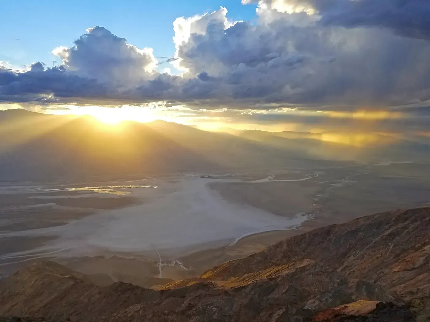
Death Valley is a landscape of contrasts: pale salt flats, folded hills, sand, and distant mountains under an enormous sky. A cooler-season visit can combine roadside views with short, deliberate walks. Its scale and climate are the real planning factors, not a shortage of attractions. Choose a geographically compact day and give the desert room to change with the light.
Many dramatic views require little walking, but extreme weather and widely spaced services leave little room for casual improvisation.
The moments to make room for.
Zabriskie Point
An elevated view reveals folded badlands whose shadows shift dramatically through the day.
Badwater Basin
The salt-flat landscape makes the valley's breadth tangible; short walks still need to be matched to temperature and conditions.
Mesquite Flat dunes
The dunes offer another texture of desert scenery, best given their own cool-hour outing rather than rushed into a full day.
Let’s see how this park fits your trip.
Your timing and travel style matter as much as the view.
One day, a little more slowly.
A suggested rhythm, not a live itinerary. Check access and allow for travel between stops.
Start at Zabriskie Point
Use the cooler part of the day for the viewpoint and assess conditions before committing to any further walking.
Keep to the Furnace Creek area
Check current information and take a proper water, food, and temperature break; do not make midday hiking an obligation.
Visit Badwater if suitable
Drive to the basin on an open road and choose a brief view or short walk based on actual heat and weather, then return before fatigue builds.
The details that shape the day.
Let temperature set the plan
An easy pace label describes the proposed activities, not the severity of the environment. Follow current NPS heat guidance.
Carry a supply reserve
Keep drinking water, food, fuel, and offline navigation available rather than relying on the next service stop.
Avoid storm shortcuts
Flash floods can affect roads and canyons. Never assume an unpaved alternate route is passable after a closure.
Check before you go
These are editorial suggestions, not live availability or safety advice. Park conditions, roads, permits and services can change.
Official park alerts ↗Official visit planning ↗Sources & editorial approach
Sources checked 2026-10-22. Suggested seasons, pace and trip length are Parkly editorial judgments. We do not claim firsthand visits. How we make recommendations.